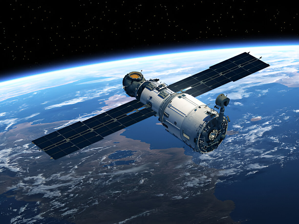
Satellite images are the eye of the court of fairly witnessing past media reports on rights violations, crimes of war, and environmental destruction, as well as refugee movements where media coverage is insurmountable.
When human rights abuses arise in distant conflict zones or environmental offences are committed at night, then satellite imagery as evidence will be a potent justice weapon. OnGeo intelligence, along with other companies, even offers high-resolution satellite data that can assist investigators and legal practitioners in unravelling the truth that has been concealed.
Based on their work, it is apparent that space technology is transforming justice in many countries.
How Satellites Became Courtroom Witnesses
Satellite photos first entered legal proceedings during the 2004 Srebrenica trials, proving mass graves that ground investigators could not safely access.
Since then, their role has expanded dramatically, such as:
- Documenting war crimes in Syria and Sudan
- Tracking illegal deforestation in the Amazon
- Exposing oil spills in Nigeria
- Monitoring refugee camp conditions.
Compared to eyewitness testimony, which can deteriorate or alter, satellite photos as evidence maintain timestamped, un-editable snapshots of important events.
AI’s Game-Changing Enhancements
Recent AI advancements are solving two major challenges with satellite evidence:
1. The Clarity Problem
- AI super-resolution transforms blurry images into clear evidence
- Enhances details like military vehicles or destroyed buildings
- Makes expensive high-resolution imagery more accessible.
2. The Cloud Cover Challenge
- AI algorithms can “see through” weather obstructions
- Creates composite images from multiple cloud-covered shots
- Reveals hidden patterns of environmental damage.
With these innovations, human rights organizations can now track crises almost in real time, despite government blockades.

Legal Hurdles for Space Evidence
While satellite imagery in legal proceedings grows more common, courts still grapple with questions:
- How will we make sure AI-enhanced images are not manipulated?
- Can algorithms accidentally “invent” details that were not originally there?
- Do biases in satellite coverage favor certain regions over others?
Current guidelines like the Leiden Standards need updating to address these AI-specific concerns while preserving evidence integrity.
Real-World Impact on Justice
From international tribunals to local courts, satellite imagery for investigations has delivered justice in remarkable cases:
- Proving the systematic burning of villages in Darfur
- Documenting cultural heritage destruction in Iraq
- Tracking illegal fishing operations across oceans
- Verifying ceasefire violations in conflict zones.
ICC now regularly uses satellite data where prosecutors refer to it as the disinterested observer that never sleeps.
What Is Next for Space-Based Justice?
The future promises even greater capabilities:
- Higher resolution cameras spotting individual vehicles or weapons
- More frequent updates capturing crimes as they happen
- AI pattern recognition flagging suspicious activity automatically.
As OnGeo Intelligence and other innovators push boundaries, satellite evidence will likely become standard in everything from environmental lawsuits to war crimes prosecutions.
A New Era of Accountability
The satellite technology has evolved into a champion of justice. Although difficulties in verifying AI persist, the possibilities to uncover the truths and keep power in check are bigger than ever before.
The space view is the most credible witness in courtrooms everywhere. Where law firms require verifiable satellite imagery, expert suppliers can supply turnkey solutions to meet the standards of the court and provide actionable intelligence.


